


Urban and Landscape Planning
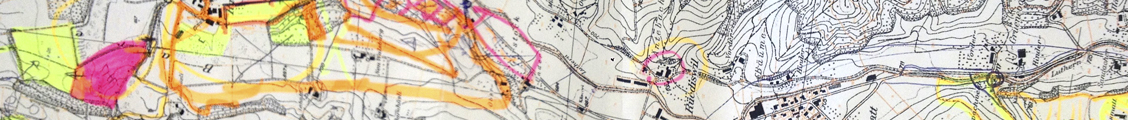
We deliver urban and landscape designs supported by digital three dimensional representation of spatial plans and design elements. It can even be an important part of the planning process itself. 3D visualization of geo-information coupled with GIS technology is a promising efficient tool in urban planning and landscape design processes.
In this dimension we encourage a participatory spatial planning to a great extent. By enabling participation of expert groups/local citizens in the planning process on a better communication platform, it can become an important part of decision support systems through an efficient presentation of planning dialogs.
Urban and landscape designing is employed in a multitude of situations such as:
- Simulation of land use changes
- Representation of model outcomes
- Exemplary conversion of recommendations for action and guidelines
- Usage of virtual landscapes in studying processes such as fragmentation of landscape and/or urban sprawl
- Urban design simulation models or reviews
- Visualisation of seasonal changes on built environment
- Landscape modelling
- Facilities planning (Emergency/tourism/..)
- Site analyses etc.
Application:
Regional, sub-regional level, local & micro-level